T1

Team Member 1
Project Lead & Full-Stack Developer
Django backend, user interface and system integration.
Satellite data, AI advice, one map
Draw your land on the map. We read satellite data for the parcel and the 5 km around it, then tell you what could reach it and what to do about it.
Choose your path
Pick the one that fits you. We will open your account with that persona and tune the advice to it.
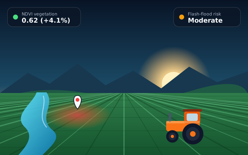 Farmer
See how slope, rivers and soil moisture upstream of your land can affect your crops, and get a plan for each season.
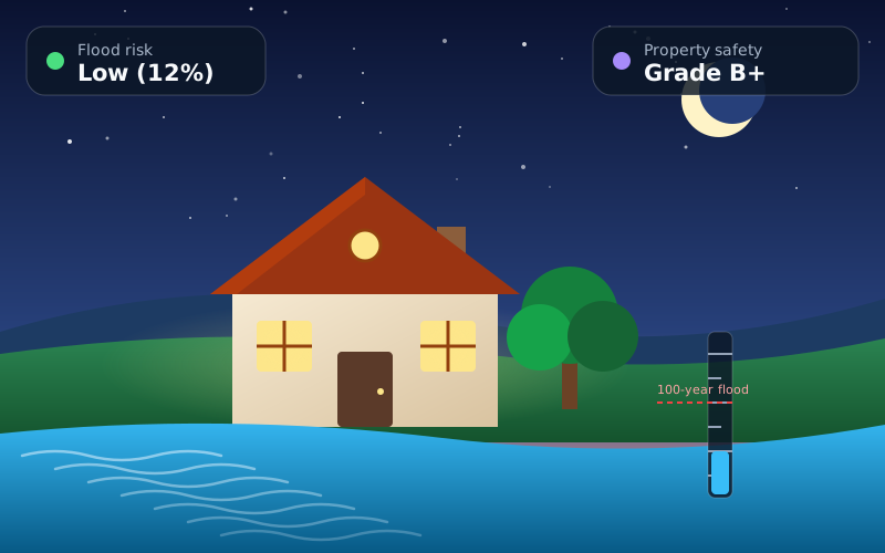 Homebuyer
Check flood exposure, heat and nearby hazards for any address before you sign, and compare homes with a risk score.
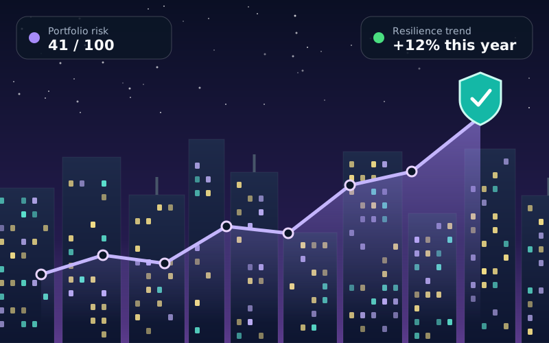 Commercial Investor
Screen land and property portfolios for climate risk, track resilience over time and back decisions with a PDF certificate.
Sketch a polygon or drop a pin, then choose a 3 to 5 km buffer.
Satellite data and a risk model score the parcel and what sits upstream.
Get plain-language actions for your role, and download a PDF certificate.
The team
We are a student team that built TerraRisk AI from the satellite pipeline to the servers it runs on.
Project Lead & Full-Stack Developer
Django backend, user interface and system integration.

Geospatial Data Engineer
Google Earth Engine pipelines for slope, rivers and vegetation.

Machine Learning Engineer
The risk model, training data and AI advisory.

Cloud & DevOps Engineer
Docker, Azure VM, CI/CD and storage.

UI/UX Designer
Brand, layouts and the design of every screen.

QA & Documentation Lead
Testing, user guides and the project report.
Create a free account and run your first analysis in under two minutes. No card needed.
Create free account